Land Topography Resources
Surety® and Surety® Pro provide dynamic and up-to-date elevation datasets and reports templates.

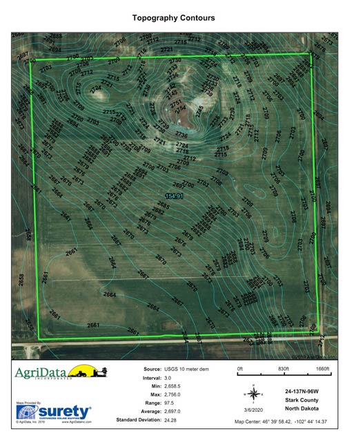
Topography Contours Report
The Topography Contours report allows the ability to see topography contour lines for a chosen area of interest. You can also adjust the contour level directly on the report by updating the contour level, in feet, in the dialogue box to the right of the report. The Topography Contours report also shows statistics for the area of interest such as minimum and maximum elevation, elevation range, average elevation and standard deviation.

Topo Contour Lines Layer
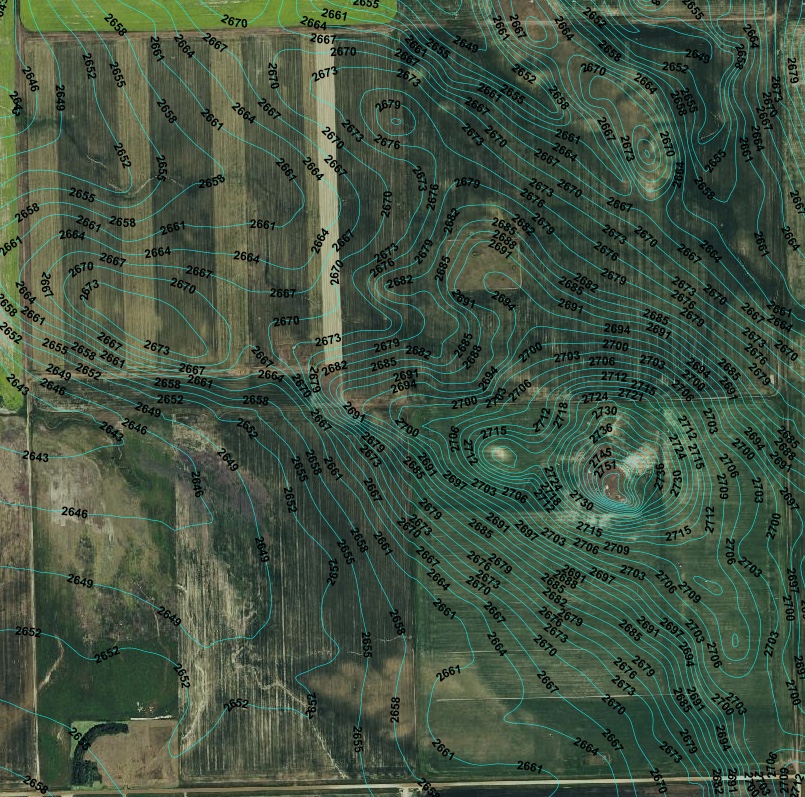
The Topo Contour Lines layer allows the topography contour lines to be displayed on the main mapping screen. You can adjust the contour level by map scale under the layer properties.

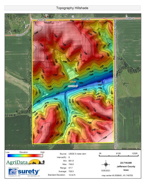
Topography Hillshade Report
The Topo Hillshade Report assigns a color scaling to the elevation changes thus providing an easily understood and attractive topography map.

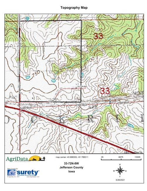
USGS Topography Maps
Generate USGS Topography Paper Maps within Surety® and Surety® Pro. These maps display elevation contour lines and elevation values. Some maps also show features such as woodland and waterways.This data can be viewed in a report format or as a background map image layer.
Create your own Topography Maps by creating a FREE 7-Day Trial Account today!