Crop History

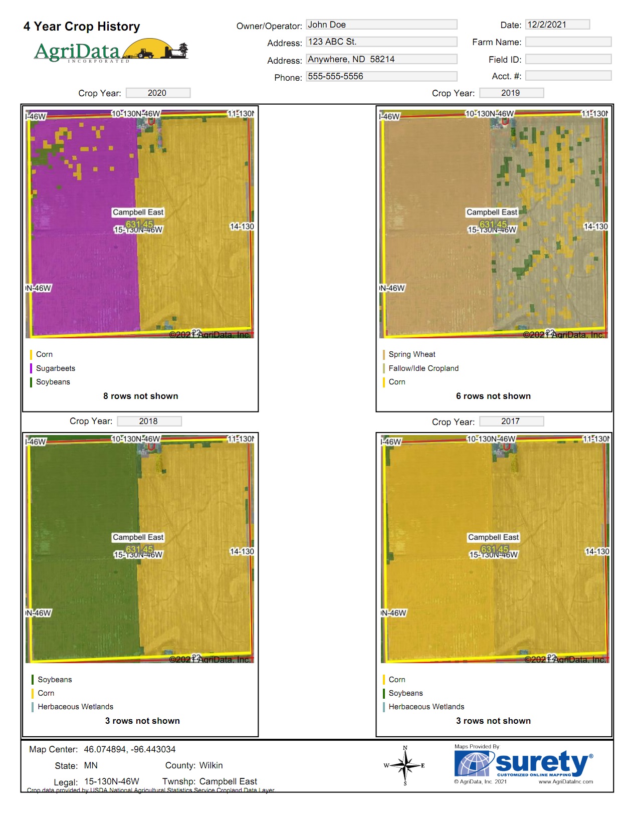
4 Year Crop History
Surety and Surety Pro contain a Crop History layer that shows what vegetation was grown during previous growing seasons. This data layer is integrated into 4 Year Crop History Report that shows a 4 year range of maps of the area of interest complete with a color legend of the crop types below each map.

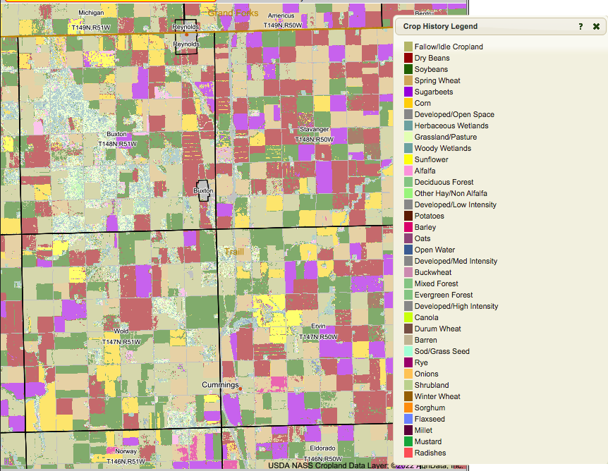
Crop History Layer
Access vegetaion type history as a map overlay with the Crop History layer. This overlay will color code the interactive map based on the type of vegetation growing for that selected year and provide a color legend.
The data in the Crop History layer is gathered from Cropland data layer created by the USDA - National Agricultural Statistics Service's CropScape Program.